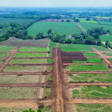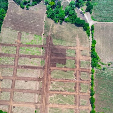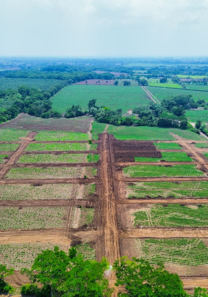
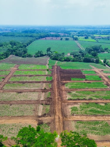
Wide aerial drone shot from high altitude looking down-angle over Costa Sur Guatemala, highway interchange visible in the lower left third, IRTRA complex rooftops identifiable in the mid-ground right, flat agricultural land parcels with clear boundary stakes stretching to the horizon, golden hour side-light casting long shadows across the grid of lots, no people, no text
/ Costa Sur, Guatemala

La tierra está aquí. Verificada.

A 1-2 minutos de la nueva autopista y junto al IRTRA. Coordenadas reales, colindancias claras — sin intermediarios ni promesas vacías.

— Distancias verificadas

Ubicación que se mide, no se promete

1–2 min

Junto al IRTRA

Colindancias claras

De la nueva autopista Costa Sur. Acceso directo, sin rodeos ni caminos de terracería.

Zona de alta demanda comprobada. El IRTRA consolida plusvalía en toda la región sur.

Estacas de deslinde visibles en terreno. Planos registrados y coordenadas GPS disponibles.

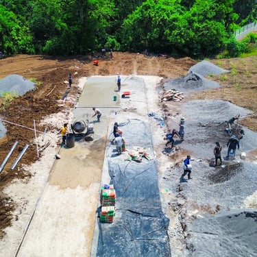
Tierra real, desde arriba

Drone shots del proyecto

+ Coordenadas reales

Encuéntranos en el mapa

Abre Google Maps y confirma la distancia desde donde estés. La autopista y el IRTRA están a la vista.